Precision Agriculture
In Your Pocket
Advanced field observations and automated zonation mapping using satellite imagery. Make data-driven decisions for your crops today.
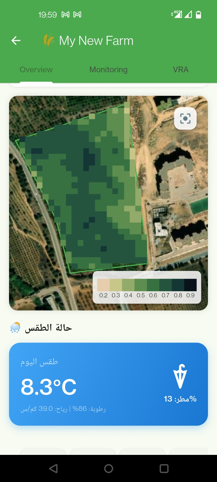
Advanced field observations and automated zonation mapping using satellite imagery. Make data-driven decisions for your crops today.
Track crop health and growth development with real-time field data entry and satellite insights.
Create precise management zones to optimize your fertilization and irrigation strategies.
Log in securely with Google to keep your farm data synchronized and private across all devices.